WALL OF MAPS
Below some examples showing the capability of SE.
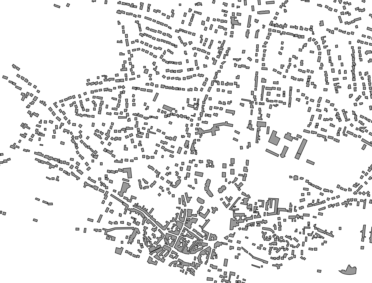

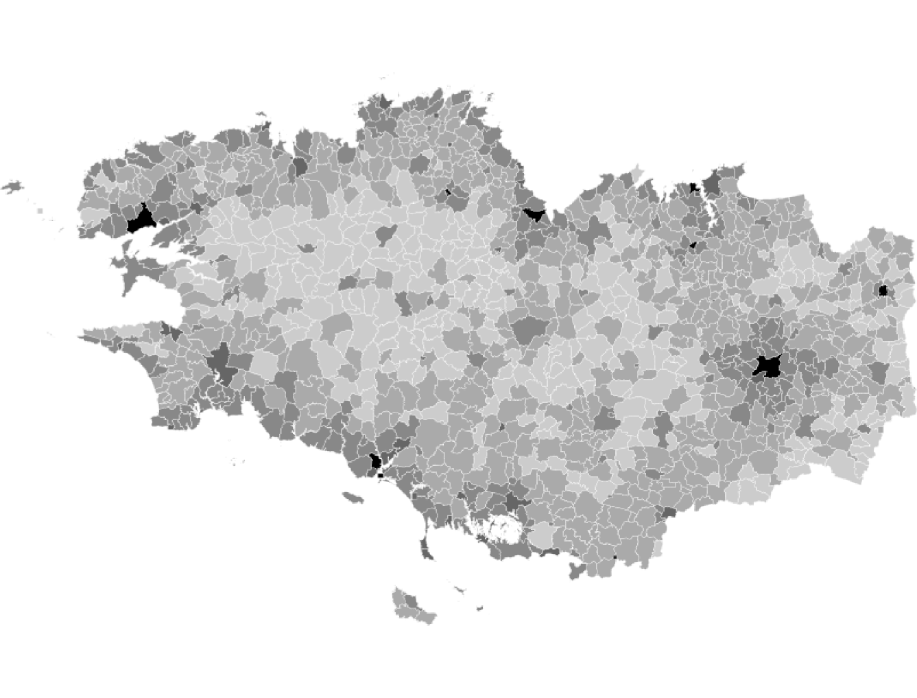
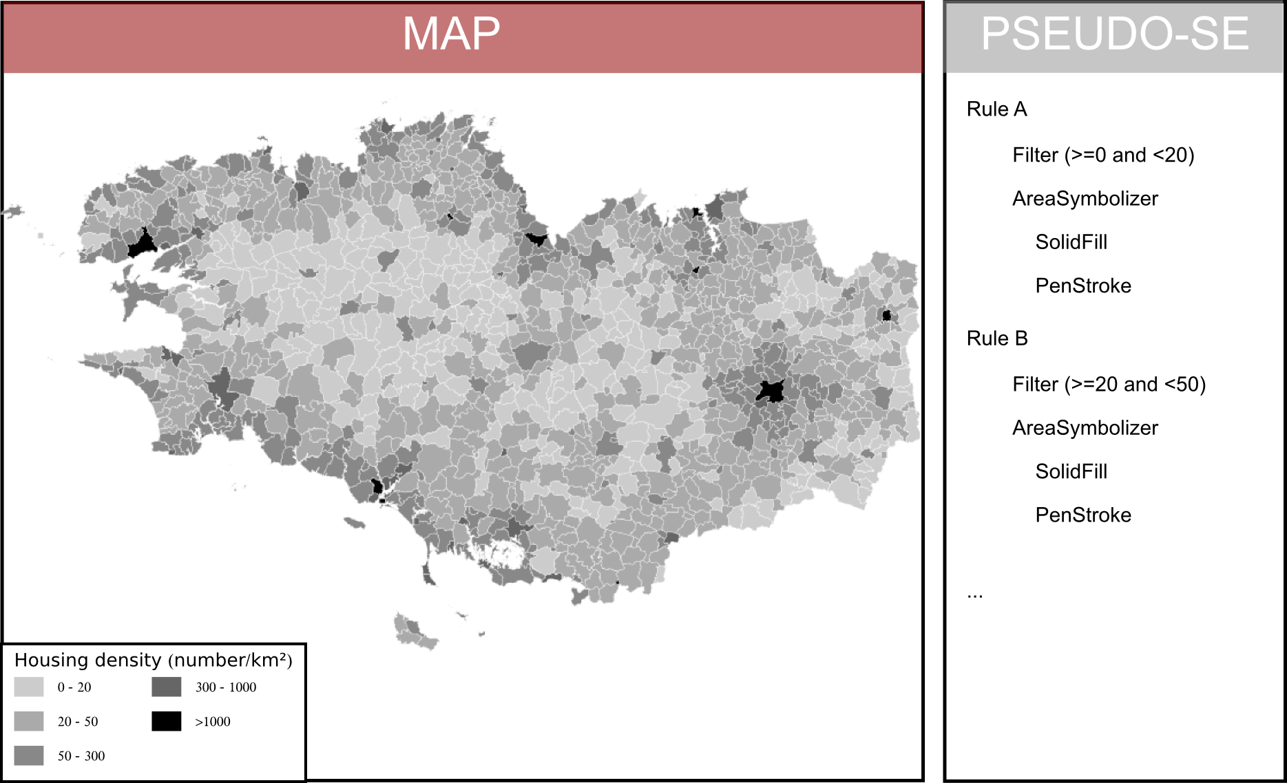
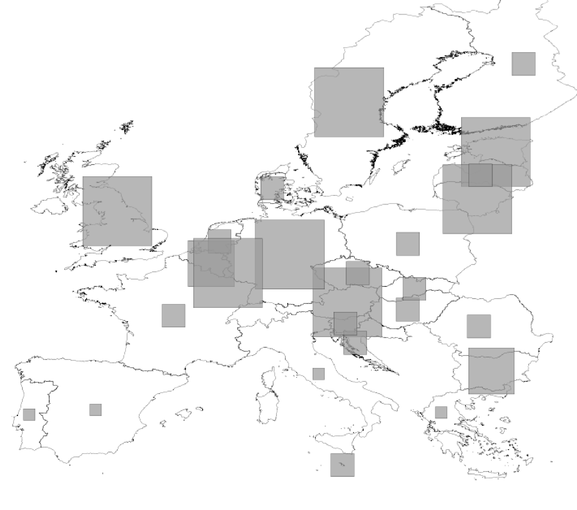
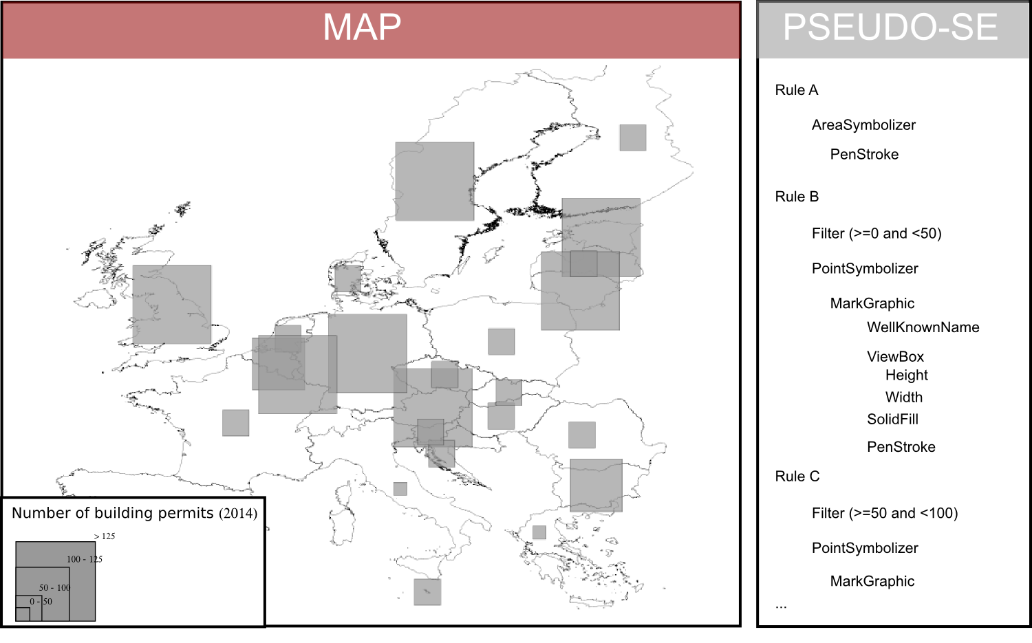
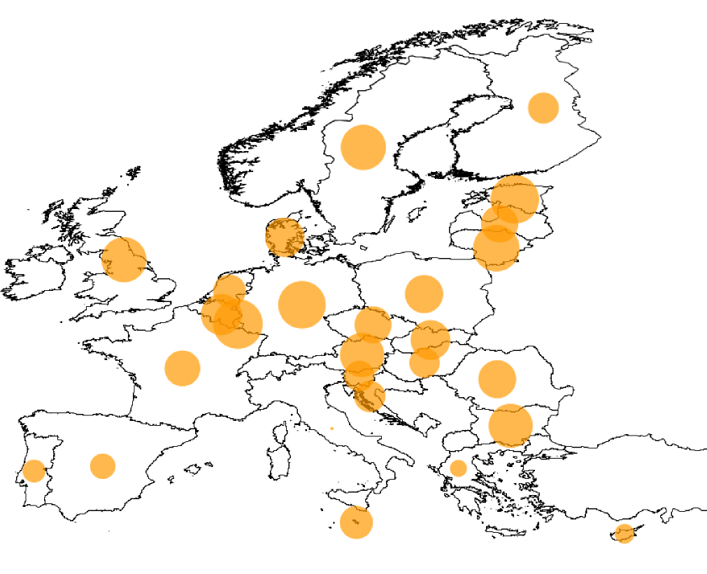
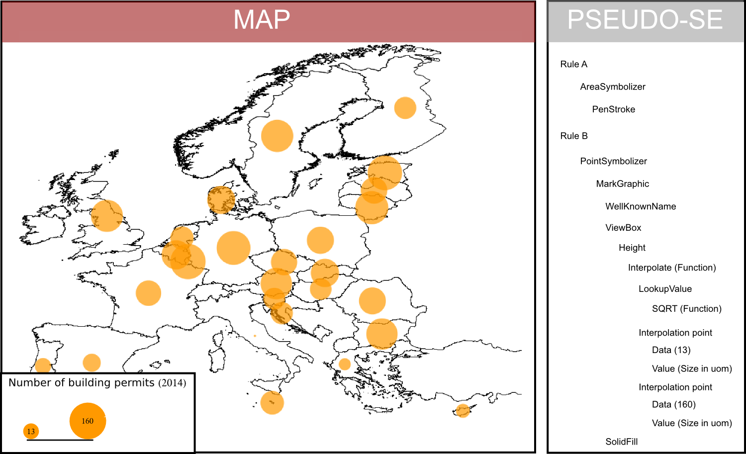
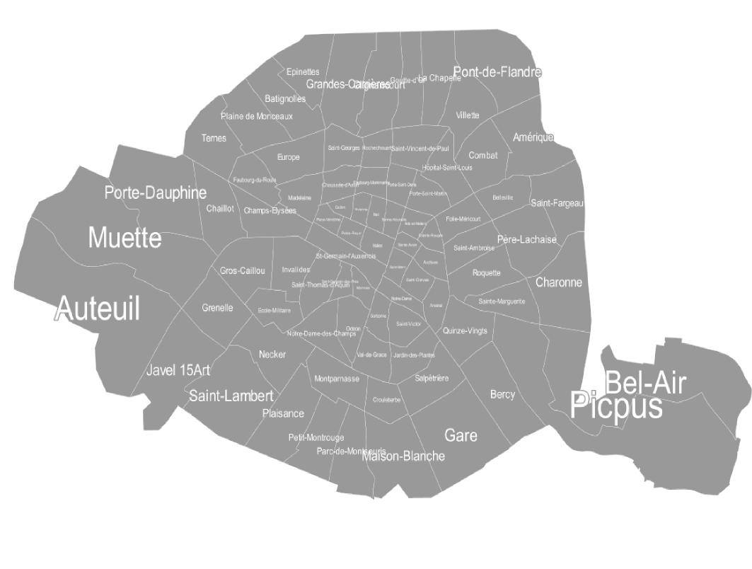

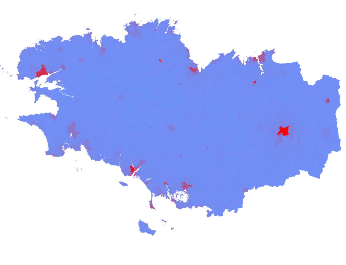
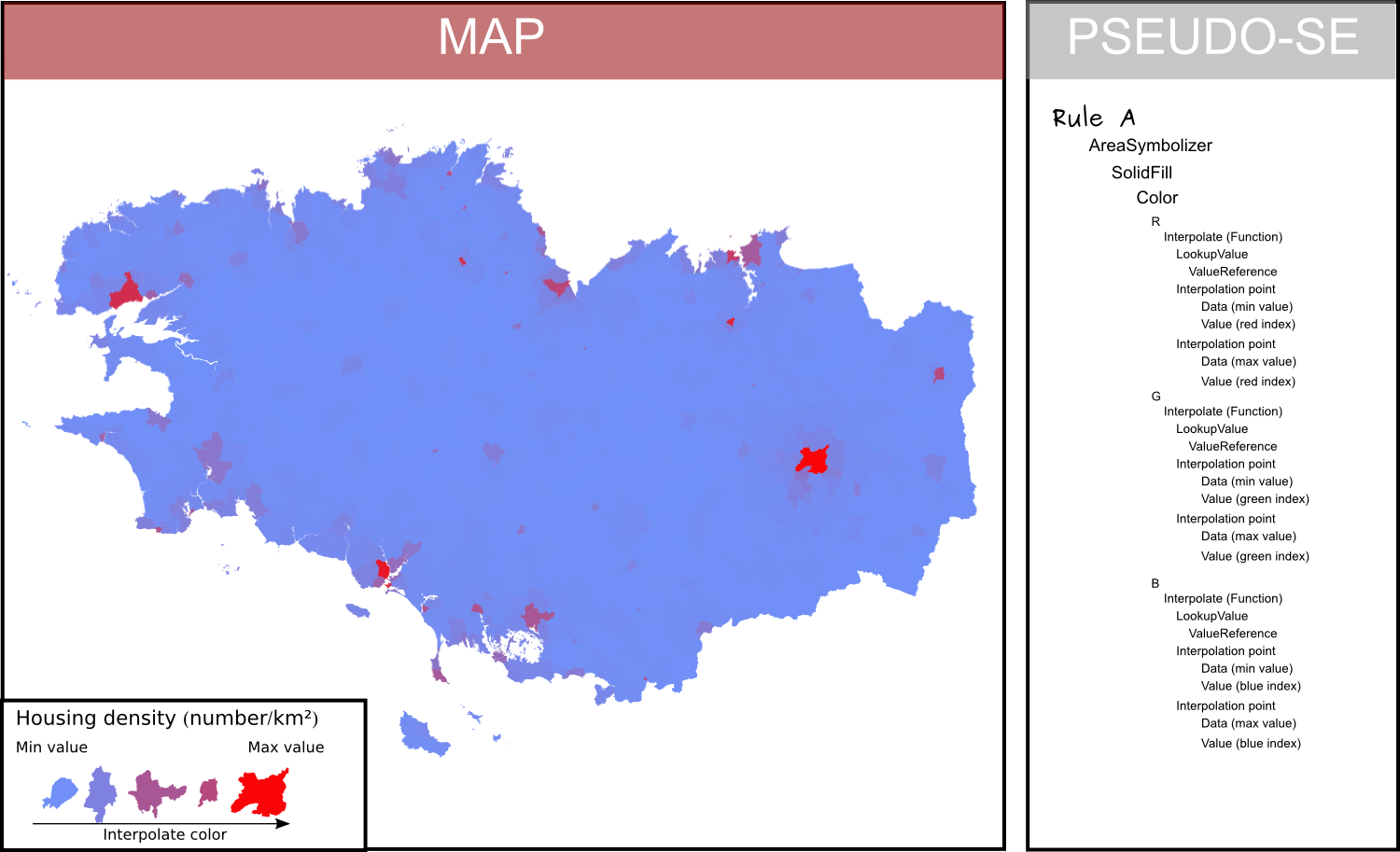
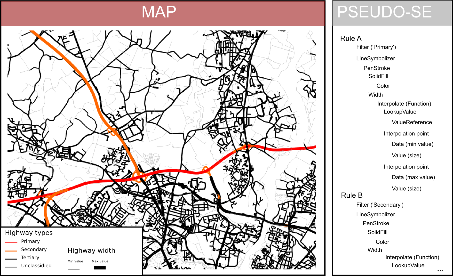
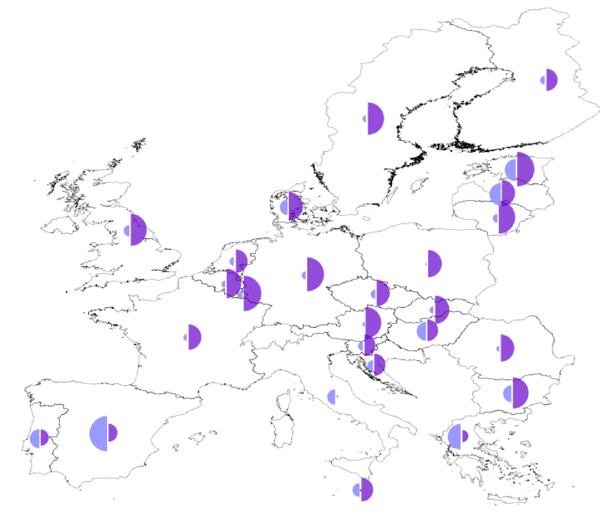
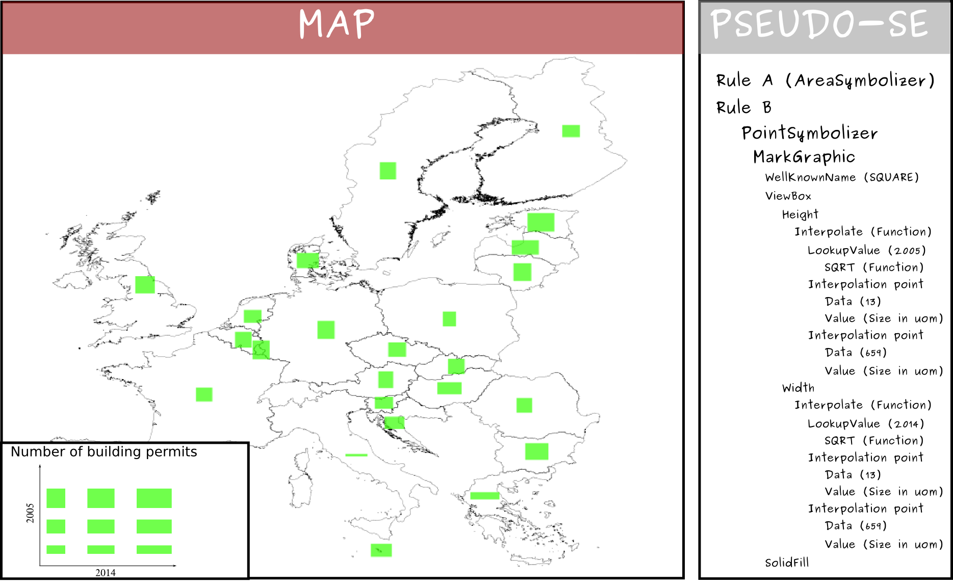
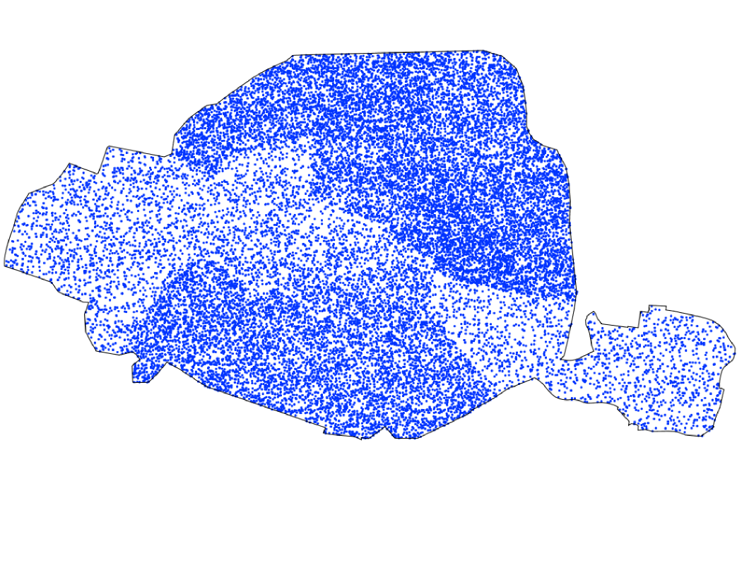
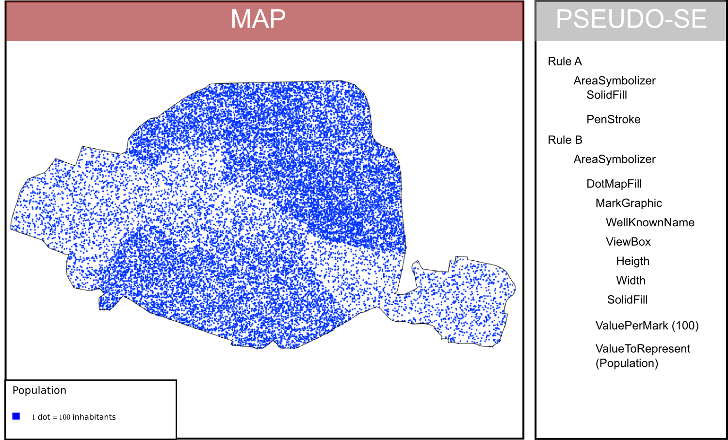
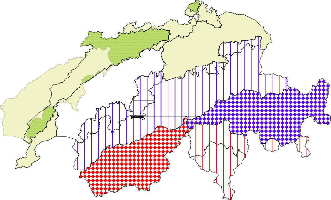
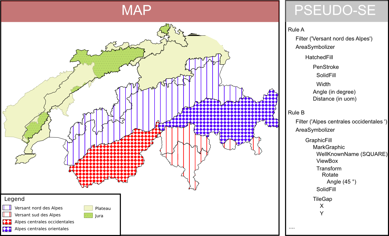
All these examples are produced using the OrbisGIS plateform that implements the SE specification.
Towards full cartographic portrayal interoperability
The revision of OGC Symbology Encoding standard
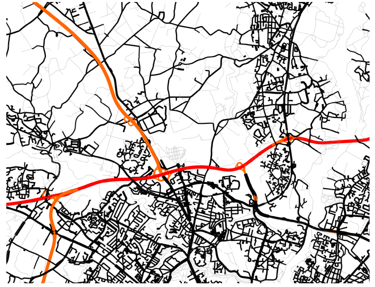
Let your imagination run wild!
Composed of specialists in cartography and computer science, this standard is leaded by two teams of researchers in geo-informatic.
Symbology Encoding is an OGC (Open Geospatial Consortium) specification (see more).
The debate on SE is leaded by the Styled Layer Descriptor and Symbology Encoding 1.2 Standards Working Group (sldse1.2swg).
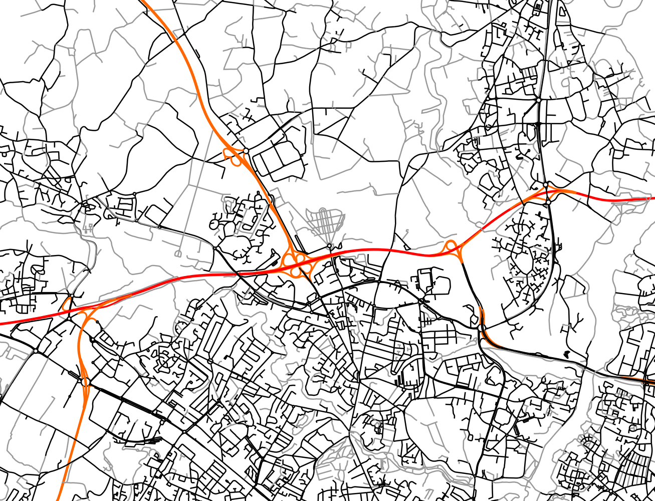
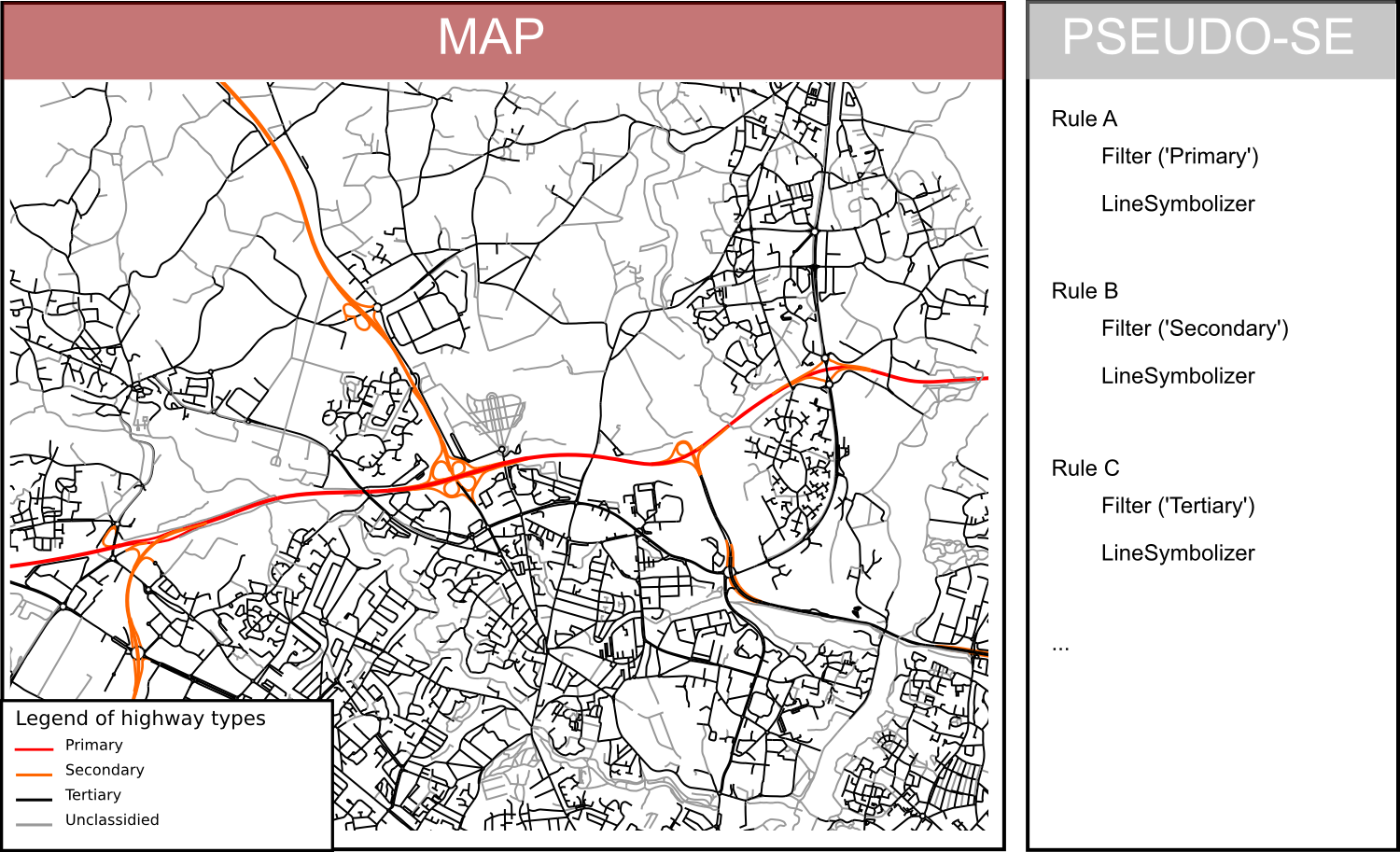
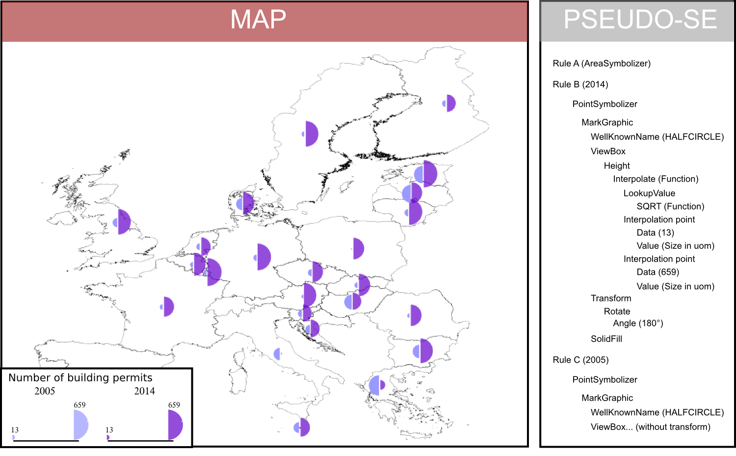
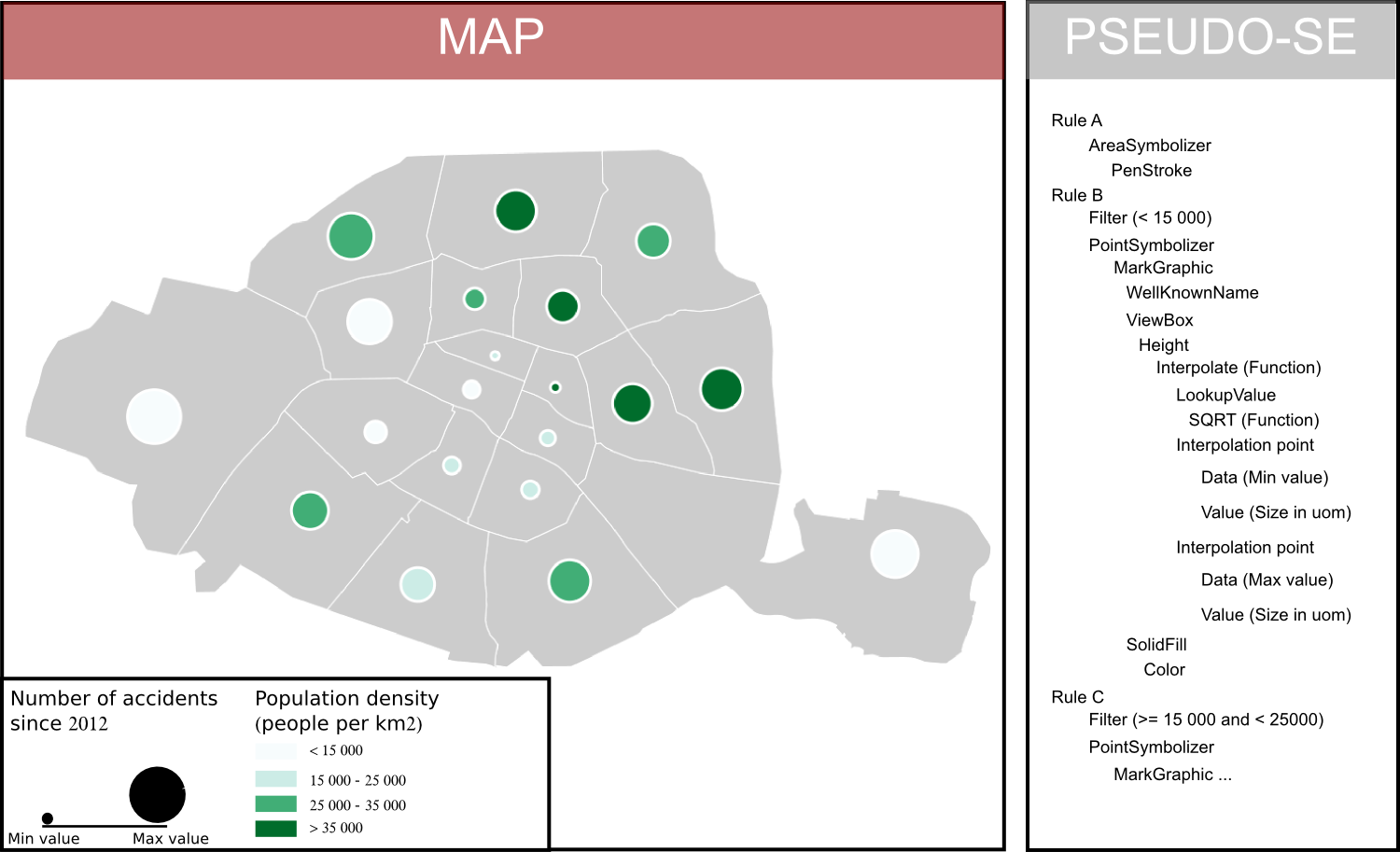
Below some examples showing the capability of SE.
All these examples are produced using the OrbisGIS plateform that implements the SE specification.
For more informations, feel free to join the SLD/SE Standard Working Group mailing list or to contact the two OGC SE co-chairs